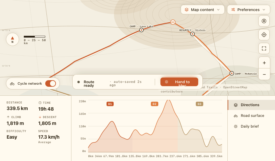
Break it down to stages.
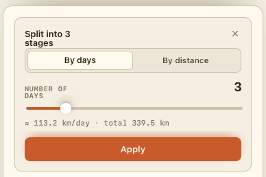
Split any route into stages
Break down the route to multiple manageable stages. Then plan each stage from resupply to accommodation.
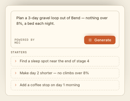
Ask Mec, your route partner
Describe the trip in plain language and Mec drafts it — then nudge it: shorten a day, reroute via a town, find a bed near the end of a stage.
Surface-aware routing. A real route partner. Days that plan themselves.
Routes that match the surface you want to ride.
Built on OpenStreetMap. Pick the bike profile you ride — road keeps you on sealed surfaces, and e-bike mode changes how the route treats climbing — then see the surface breakdown and the elevation you'll actually climb before you commit.
A route partner that knows your plan.
Describe the trip in plain language and Mec drafts the route, re-stages the days, and answers "make day 2 shorter" without a blank map. Your personal AI ride partner — no slop.
- You: Got 4 days. Grenoble → Vercors loop. Mostly gravel, hate climbs over 8%.
- Mec: Sketched a 198 km loop · 4,200 m, on gravel wherever the tracks allow. The steepest pitch is 9%, on day 2. Want me to find a bed near the end of day 2?
- You: Yes — and a water stop for day 3 morning.
- Mec: Found 3 places near Villard-de-Lans — pick one and it becomes the end of day 2. Two water taps pinned early on day 3.
Split into days. Pin water, food and a bed.
Break a long route into rideable days with one slider, then drop water, resupply and viewpoints onto any stage and lock in where you sleep each night.
Find somewhere to sleep without leaving the map.
The hardest part of a multi-day route isn't the riding — it's knowing there's a bed at the end of each day. Ask for sleep spots near a stage end and the planner drops every option onto the map, so you can pick the night and get on with the route. Booking a room from the map is coming; for now we send you straight to the place.
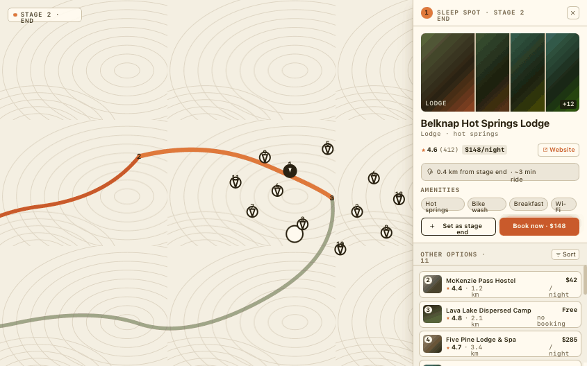
A bed near every stage end
Finish a day and the planner already knows where you could sleep — hotels, hostels, guest houses, chalets, motels and campsites, ranked by how far they sit from your stage end.
Enough to choose, without losing your place
What each place is, how far off the route it sits, and a link straight to its own website. In France, official tourism listings come through marked as verified.
Lock the night into the day
Set a place as the stage end and the night belongs to that day — it rides along in the GPX as a named waypoint. One-click booking from the map is on the way; until then the link takes you to the place to book direct.
Before you draw your first line.
No — you can draw a route, split stages and see the elevation without signing in. An account lets you save trips, sync to your devices, and use Mec.